New Mexico Road Trip Planning: Essential Apps and Resources for Desert Travelers
Planning a road trip through New Mexico’s stunning desert landscapes requires more than just throwing some snacks in the car and hitting the highway. The Land of Enchantment offers incredible adventures, from the otherworldly formations of White Sands National Park to the artistic haven of Santa Fe, but navigating its vast distances and unique challenges demands smart preparation. Whether you’re a first-time visitor or a seasoned desert explorer, having the right digital tools and resources at your fingertips can transform your journey from stressful to spectacular.
New Mexico’s desert terrain presents distinct challenges that coastal travelers might not anticipate. Cell service can be spotty in remote areas, gas stations become precious oases, and weather conditions can shift dramatically. That’s where modern technology becomes your best travel companion, helping you navigate safely while discovering hidden gems along the way.
Navigation Apps That Actually Work in the Desert
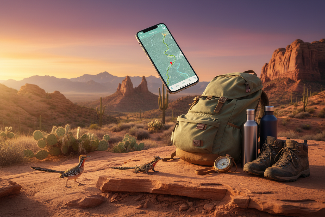
Standard GPS apps often fall short in New Mexico’s remote regions, where one wrong turn can lead to hours of backtracking through empty desert. Google Maps remains reliable for major highways and cities like Albuquerque and Santa Fe, but it’s worth downloading offline maps before venturing into areas like the Gila Wilderness or remote sections near Roswell.
Waze excels in populated areas and provides real-time updates about road conditions, construction, and traffic. However, its community-driven approach means fewer updates in sparsely populated desert regions. For serious desert exploration, consider Gaia GPS, which offers detailed topographic maps that work offline. This app is particularly valuable when exploring areas around Bandelier National Monument or the backcountry near Taos.
AllTrails deserves special mention for hikers planning to explore New Mexico’s numerous trail systems. The app provides detailed trail maps, elevation profiles, and user reviews that can help you choose hikes matching your fitness level and time constraints. Many trails in places like Tent Rocks or the Sandia Mountains have limited cell coverage, making offline map downloads essential.
Weather and Safety Apps for Desert Conditions
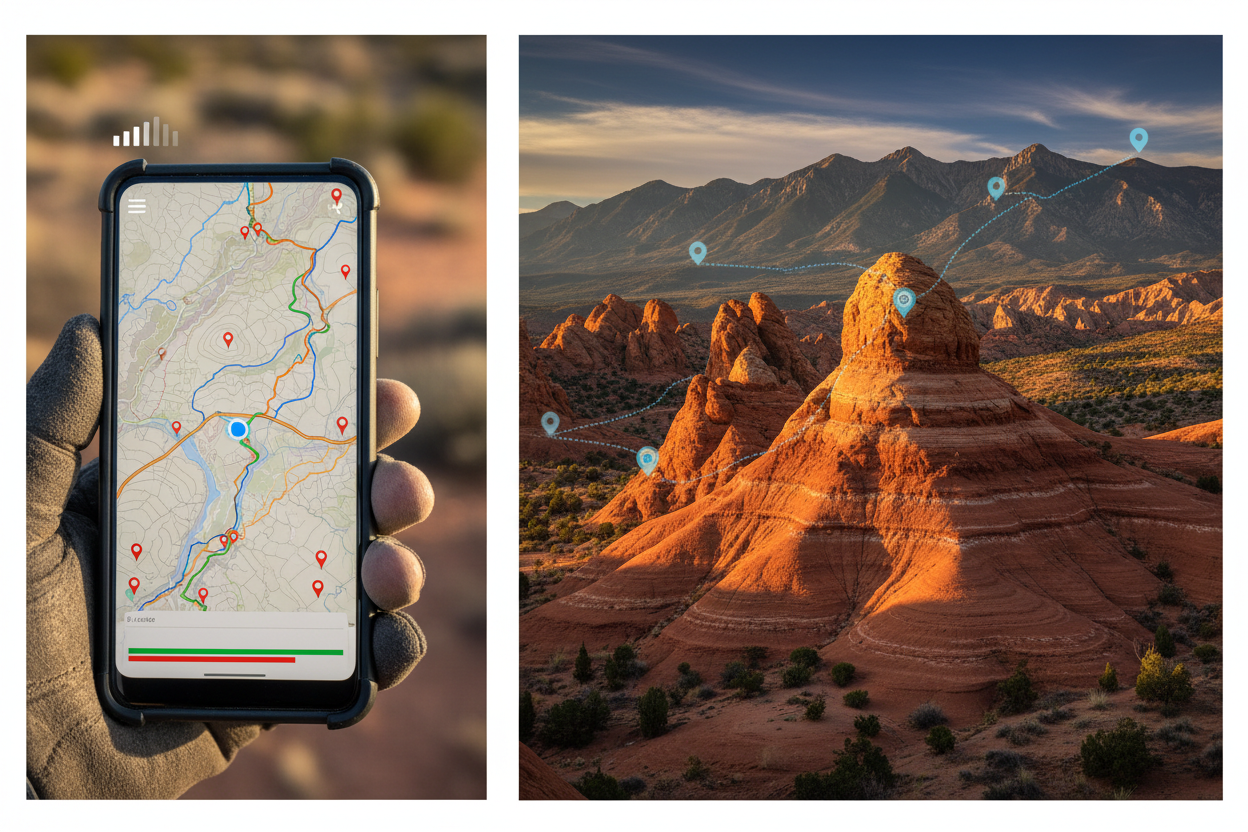
Desert weather can be deceptively dangerous, with temperatures swinging from scorching days to surprisingly cold nights. The Weather Underground app provides hyperlocal forecasts that are particularly accurate in New Mexico’s varied microclimates. You’ll find significant temperature differences between Albuquerque’s high desert and the cooler mountains around Cloudcroft.
For real-time weather radar, RadarScope offers professional-grade weather tracking that’s invaluable during monsoon season (July through September). Desert flash floods can appear with little warning, and this app helps you track approaching storms that could affect your travel plans.
The Red Cross Emergency app provides crucial safety information, including first aid guidance and emergency contact features. In remote desert areas where help might be hours away, having medical guidance readily available could prove lifesaving. The app also includes flashlight and strobe light features that can serve as backup emergency tools.
Fuel and Service Station Locators
Running out of gas in the New Mexico desert isn’t just inconvenient—it can be dangerous. GasBuddy has become indispensable for desert travelers, showing not only gas station locations but also current fuel prices and user reviews about station conditions. This information proves particularly valuable when traveling remote stretches like Highway 285 between Roswell and the Texas border.
The Roadtrippers app goes beyond simple gas station location, helping you discover interesting stops along your route while ensuring you never venture too far from essential services. It’s particularly useful for planning stops at quirky roadside attractions like the Very Large Array or the International UFO Museum.
For electric vehicle owners, PlugShare is absolutely essential. New Mexico’s EV charging infrastructure is growing but still sparse in rural areas. The app shows charging station locations, availability, and user reviews, helping you plan routes that keep your vehicle powered throughout your desert adventure.
Accommodation and Camping Resources
Finding quality accommodations in New Mexico’s smaller towns can be challenging, especially during peak seasons when places like Santa Fe and Taos fill up quickly. Booking.com and Hotels.com offer good coverage of traditional accommodations, but don’t overlook unique options available through Airbnb, particularly in artistic communities like Madrid or Chimayo.
For camping enthusiasts, Campendium provides detailed information about both established campgrounds and dispersed camping opportunities on public lands. New Mexico offers incredible free camping options on Bureau of Land Management and Forest Service lands, but knowing the rules and finding the best spots requires local knowledge that this app provides.
The Recreation.gov app handles reservations for national and state parks, including popular destinations like Carlsbad Caverns and Elephant Butte Lake State Park. Many of New Mexico’s premier camping spots require advance reservations, particularly during spring and fall when weather conditions are ideal.
Food and Local Experience Apps
New Mexico’s culinary scene extends far beyond green chile, though you’ll definitely want to experience the state’s signature ingredient. Yelp remains valuable for finding restaurants in larger cities, but HappyCow specializes in vegetarian and vegan options, which can be surprisingly limited in smaller desert towns.
For authentic local experiences, consider the Roadside America app, which highlights quirky attractions and local landmarks that make New Mexico special. From the world’s largest pistachio in Alamogordo to ancient petroglyphs near Albuquerque, these unique stops often provide the most memorable moments of your trip.
The iOverlander app, originally designed for international travelers, has excellent coverage of New Mexico’s remote areas, including information about water sources, dump stations, and local services that traditional travel apps might miss.
Photography and Stargazing Apps
New Mexico’s clear desert skies and stunning landscapes make it a photographer’s paradise. PhotoPills helps you plan the perfect shot by predicting sun and moon positions, which is particularly valuable when photographing iconic locations like Shiprock or the sand dunes at White Sands during golden hour.
For night sky enthusiasts, SkySafari provides detailed star charts and helps you identify celestial objects visible from New Mexico’s dark sky locations. The state has several International Dark Sky Parks, including Clayton Lake State Park, where light pollution is minimal and stargazing opportunities are exceptional.
The Sun Surveyor app helps photographers and sightseers predict lighting conditions throughout the day, which can make the difference between a mediocre photo and a stunning image of places like the Rio Grande Gorge or the cliff dwellings at Bandelier.
Cultural and Historical Resources
New Mexico’s rich cultural heritage spans from ancient Puebloan civilizations to modern artistic communities. The NPS National Parks app provides detailed information about the state’s numerous national monuments and historical sites, including audio tours and educational content that enhance your understanding of locations like Chaco Culture National Historical Park.
For exploring Native American heritage sites, the Native Land app helps you understand whose traditional territories you’re visiting, fostering respectful travel through indigenous lands. This awareness becomes particularly important when visiting areas around pueblos or sacred sites.
The Detour app offers GPS-triggered audio tours for several New Mexico destinations, providing rich storytelling and historical context as you explore places like Old Town Albuquerque or the Palace of the Governors in Santa Fe.
Money-Saving and Budget Apps
Desert road trips can be expensive, especially when factoring in higher fuel costs for longer distances and premium pricing in tourist destinations. Honey automatically applies coupon codes when booking accommodations or purchasing supplies online, potentially saving significant money on your trip expenses.
GasBuddy not only helps you find stations but also identifies the cheapest fuel prices along your route. In a state where gas stations can be 100 miles apart, knowing where to find affordable fuel becomes crucial for budget-conscious travelers.
The ParkWhiz app helps you find and reserve parking in busy destinations like Santa Fe’s Plaza area, where finding parking can be both time-consuming and expensive during peak tourist seasons.
Frequently Asked Questions
What’s the most important app for New Mexico desert travel?
A reliable offline GPS app like Gaia GPS or downloaded offline maps from Google Maps. Cell service can be unreliable in remote desert areas, making offline navigation capabilities essential for safe travel.
How do I prepare for limited cell service in remote areas?
Download offline maps, cache important information like accommodation confirmations and emergency contacts, and consider investing in a satellite communicator for true emergencies. Always inform someone of your travel plans when heading into remote areas.
Which weather app works best for New Mexico’s desert climate?
Weather Underground provides the most accurate hyperlocal forecasts for New Mexico’s varied microclimates. Pair it with RadarScope during monsoon season to track potentially dangerous storms.
Are there special considerations for electric vehicle travel in New Mexico?
Yes, charging infrastructure is limited outside major cities. Use PlugShare to plan your route carefully, and always have a backup plan. Consider carrying a portable charger and know the locations of all charging stations along your intended route.
What’s the best app for finding free camping in New Mexico?
Campendium excels at finding both established campgrounds and dispersed camping opportunities on public lands. iOverlander also provides excellent information about remote camping spots with details about water sources and amenities.
How can I find authentic local restaurants in small New Mexico towns?
While Yelp works in larger cities, local recommendations through apps like Roadtrippers often lead to hidden gems. Don’t hesitate to ask locals for recommendations, as the best green chile often comes from unassuming family-owned establishments.
Planning a successful New Mexico road trip requires balancing modern technology with respect for the desert environment’s unique challenges. These apps and resources will help you navigate safely, discover hidden treasures, and create lasting memories while exploring one of America’s most enchanting landscapes. Remember that technology is a tool to enhance your adventure, not replace common sense and proper preparation. Pack extra water, inform others of your travel plans, and always respect the desert’s power and beauty.